Guidance work in a field usually starts with a machine doing something that produces nothing. The tractor drives the first pass to set the line, or circles the headland so the terminal can work out the boundary. That is fuel burned, time spent and a compacted wheel track through a field that has not been planted yet. DT-1 Smart Marker of CHCNAV does that manually.
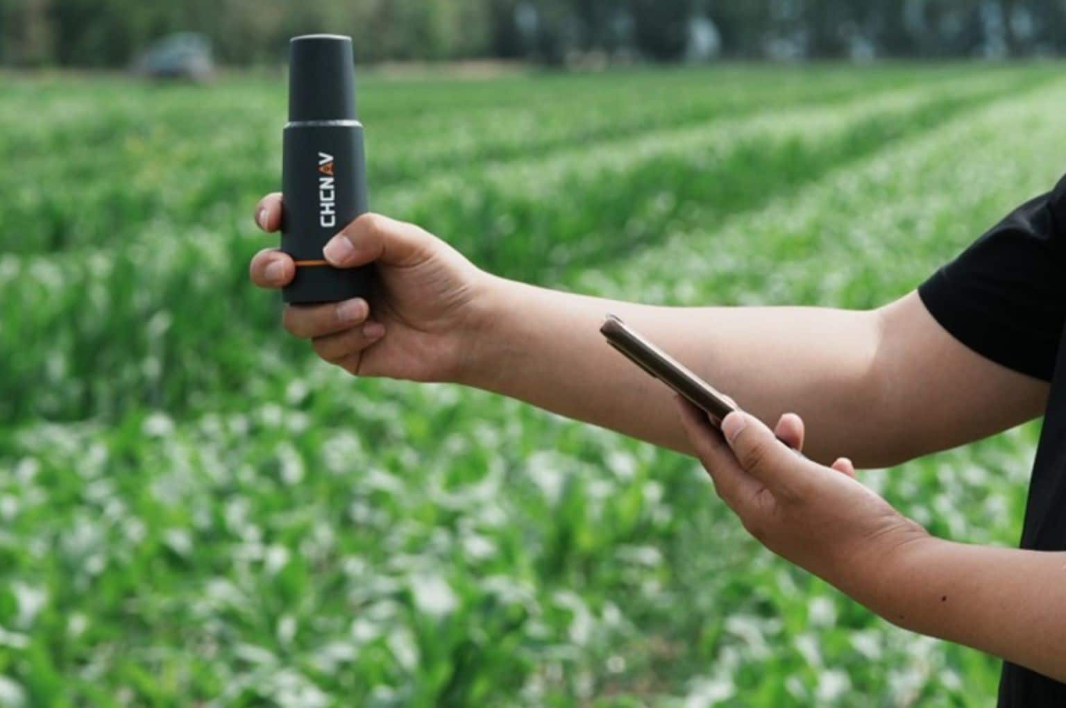
The DT-1 is a portable GNSS receiver with the antenna, processing card and Bluetooth module in one small body, accurate to within 2.5 cm and operated with a single button. It pairs over Bluetooth with CHCNAV FarmMaster software on an Android phone or a PC, and everything it records goes to the cloud, ready for a steering terminal to pick up.
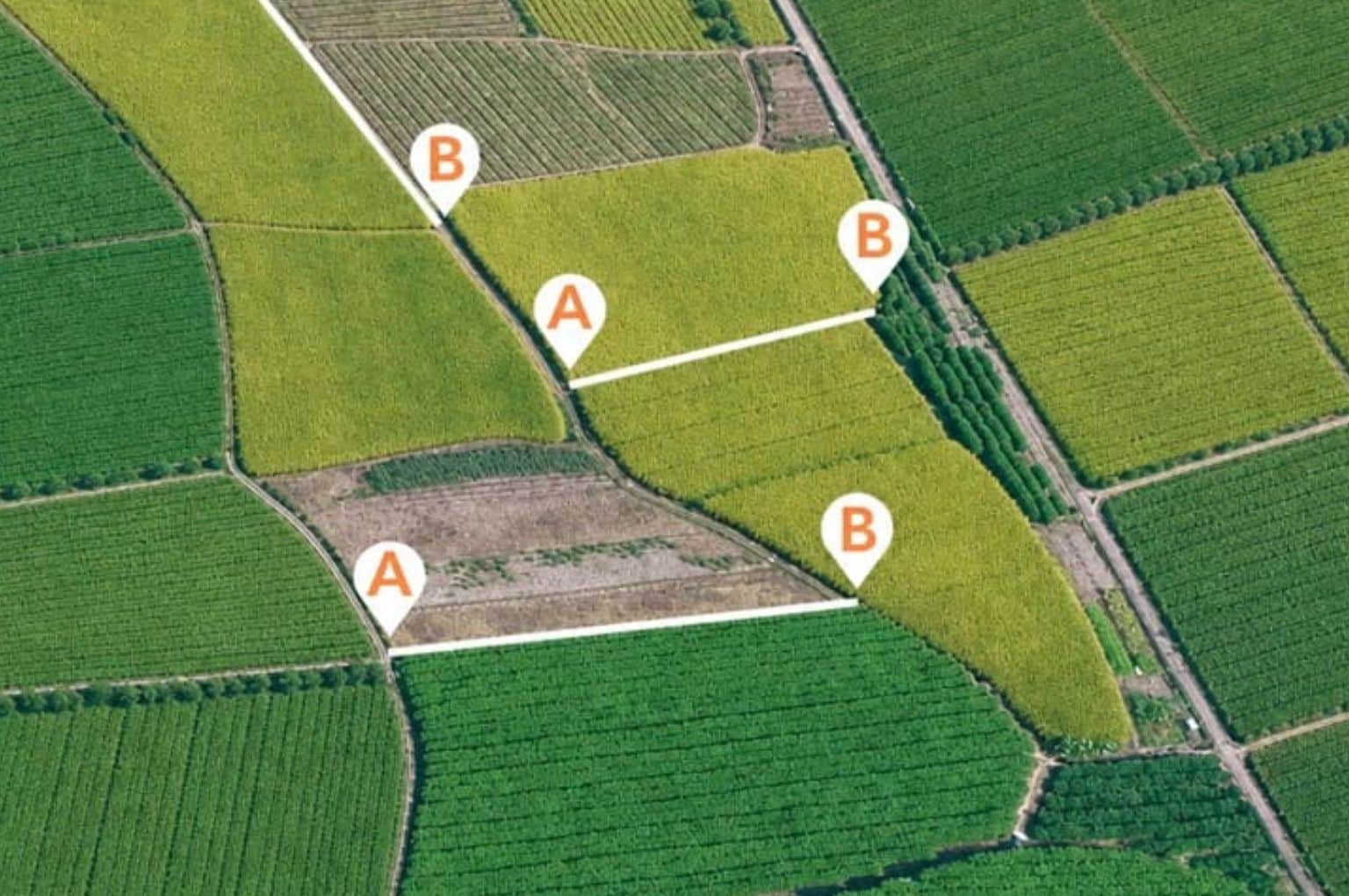
Walk to the two points that define the line, press the button at each, and the AB line exists. The first pass the machine makes is a working pass. The line is then stored rather than recreated, so the same one can be reused next season and shared with every other machine that works the block, which matters most to contractors and larger operations running several tractors on the same fields.
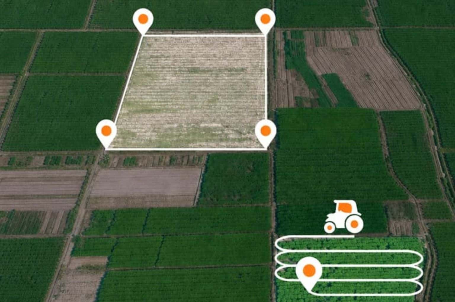
The same walk gives the field boundary and the area inside it. The area can be captured two ways: walk the perimeter before work starts, or let the area build up as the machine covers the ground. For contract work, an agreed figure recorded by the device is a better basis for a tillage or harvest invoice than an estimate from a map, and it settles most of the arguments about how much ground was actually worked before they start.
Marking hydrants, rocks and problem patches
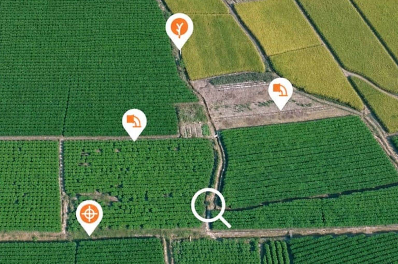
Anything worth finding again can be recorded as a landmark: a field hydrant, a rock, a soft spot, a drain cover, or a patch where pests or disease showed up. Marking them on foot is more precise than marking them from a moving cab, and the position can be navigated back to later. A patch flagged during scouting becomes a target the sprayer can find, and an obstacle recorded once stops being something every new operator has to be warned about.
Lines, boundaries and landmarks are held in the cloud through FarmMaster software and shared with CHCNAV automatic steering systems, so work recorded on one machine is available to the rest. A field mapped by whoever got there first is ready for the NX612 automated steering system on the next tractor into the gate, and nothing is lost when a terminal is swapped or a phone is replaced.