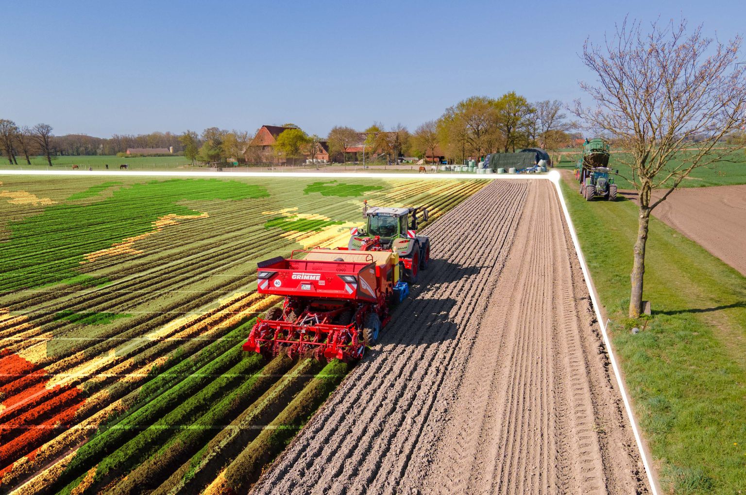
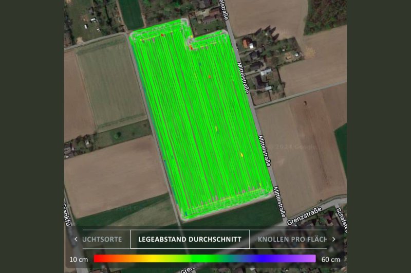
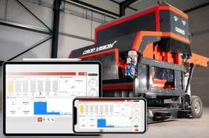
With ‘Fields’, GRIMME has launched a new digital tool that enables the user to analyse the completed field work, such as planting or harvesting, in detail. For this purpose, numerous machine data are automatically documented in geo-referenced form so that the customer receives a precise overview of varieties, application rates, missing tubers, planting depth and yields. This functionality supports more effective planning and optimisation of individual plot management.
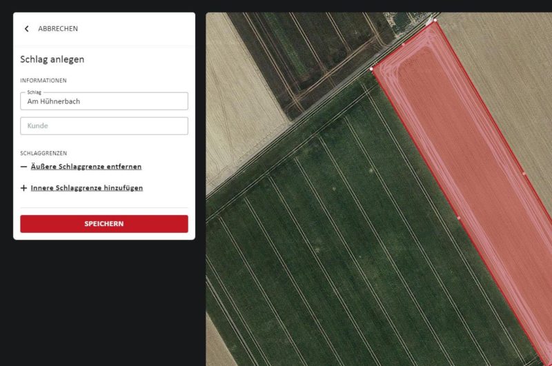
Users can either draw field boundaries in myGRIMME manually or import them directly from other existing systems. If a plot is then linked to a job (‘task’) in myGRIMME, the machine automatically assigns the available machine data to this area once the field work has been completed.
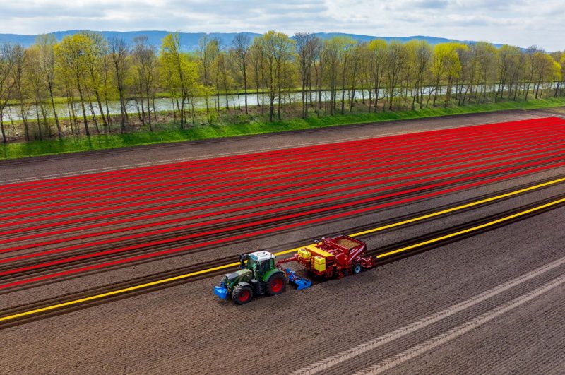
Furthermore, GRIMME presents the new ‘Crops’ application. This allows different crops such as potatoes, beets and vegetables to be created in myGRIMME and colour-coded in the portal. This gives the user a quick and well organised overview. It is also possible to subdivide the crops into varieties. These can be displayed and selected in real time via the operator terminal.
The different crops or varieties can then be geo-referenced with the respective machine data and visualised in “Jobs” and “Fields”. A change of variety is clearly marked by colour and can help to prevent mixing, for example during harvesting.
The myGRIMME portal was launched in 2017. The prerequisites for using these applications are GRIMME machines with a registered and activated GSC box (GRIMME SmartConnect) and an active myGRIMME account.


