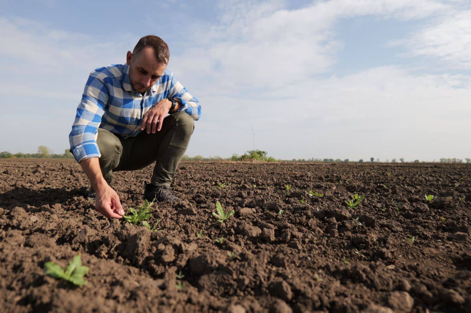
Skymaps from Czech Republic has launched “Zoneye”, an AI model that detects crops and weeds from drone images. The technology trains on local species and helps farmers cut input costs by 50 percent, while boosting yields 20 percent. Crop counting and germination detection are also included.
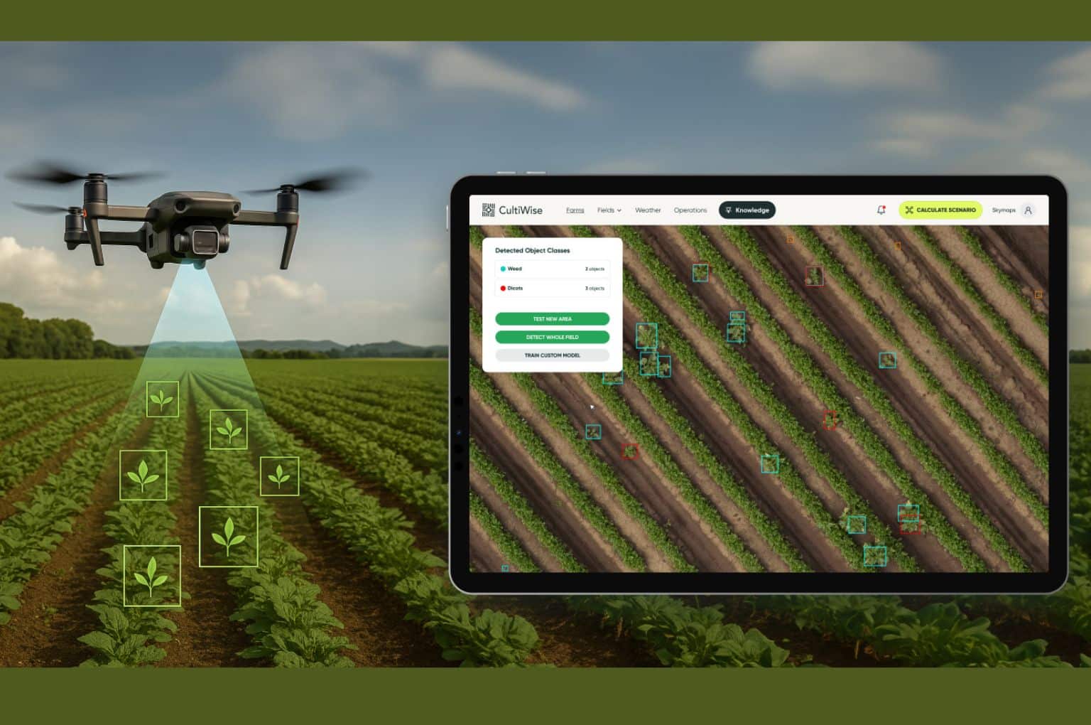
Zoneye is an AI model that allows farmers to train the system to recognize weeds, unique to their region. Trained to recognize 37 common weed species, Zoneye pinpoints their exact location in the field using drone images. Integrated into the company’s CultiWise prescription-map platform, the tool enables growers to cut input costs by up to 50 percent while boosting yields by up to 20 percent.
Trained on millions of drone-captured images of crops and weeds, Zoneye can identify, within minutes, all common weeds such as thistle, mayweed and ragweed among major crops including corn, winter wheat, soybean, sugar beet, sunflower, rapeseed, potatoes, and onions. Farmers upload their own drone images to the cloud-based software, which delivers results in minutes.
Zoneye is available worldwide to CultiWise subscribers and costs 5-20 euros per hectare. Optional CultiWise drones start at 4,200 euros.
“Farmers have repeatedly stressed the importance of knowing precisely where the weeds are at the plant level so they can tackle these annoying field invaders more effectively while using fewer inputs and reducing environmental impact,” said Kornel Cziria, Chief Technology Officer at Skymaps.
“After more than 500,000 man-hours of development and testing, we are bringing Zoneye to their fields. It is satisfying to achieve this centimeter-level accuracy,” adds Cziria.
How Zoneye works
Farmers capture field images using drones with RGB cameras, flying at heights of 40 to 120 meters, depending on weed and upload these to the CultiWise platform. The system processes images through a proprietary AI model trained on millions of drone photos.
Within minutes, CultiWise generates precise prescription maps detailing the location, density, and species of weeds, enabling the farmer to decide the exact amount of herbicide required for each area. These maps are exported directly to machinery terminals, guiding sprayers to apply herbicides only to weed-infested areas.
“In regions with unusual conditions, like in Australia with its red soils, farmers can upload sample drone images of problem areas in real time to CultiWise. The system quickly adapts to the local conditions, allowing what we call a ‘field-specific adjustment,’” says Cziria.
“Local conditions vary, every farmer’s field is different. Now we have put the power in the farmers’ hands so they can train the system for their specific requirements.”
Turning maps into actions
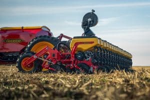
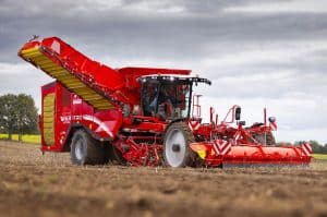
Known as spot-spraying and variable rate application, this precise crop protection method relies on prescription maps to accurately distribute herbicide. Equipment from companies like Agrifac, Amazone, Horsch, and John Deere uses these maps to target crops effectively.
Many farmers already own sprayers capable of spot application but often lack the tools and expertise to detect weeds and generate prescription maps.
The maps inform farmers of expected volume savings. “Zoneye offers up to 50 percent reduced herbicide input, because farmers apply only what’s needed and only to the individual weed plants. This can result in increased yields of up to 20 percent due to reduced crop stress,” adds Cziria.
Unlike conventional “green-on-brown” systems that detect weeds only on bare soil, Zoneye distinguishes crops from weeds even in “green-on-green” situations where both appear similar to the eye and to cameras. Because Zoneye is very precise, it can see right down to the plant level and count every individual crop in a field. This is especially useful when farmers need to decide whether to continue the crop or reseed missing plants.
“One farm expected 100,000 sugar beet seeds per hectare to germinate, but many died over winter,” explains Cziria. Zoneye showed the zones where over 65,000 plants per hectare had survived, above the economic threshold, so the farmer was able to reseed only the zones below the threshold.
Additional applications
Using the same prescription-map technology, Zoneye can also guide seeding. By analyzing plant density and gaps in the field, the system can recommend adjusting seeding rates for areas where germination is low. This ensures uniform crop establishment, optimizes input use, and helps farmers maximize productivity across the field.
Additionally, Zoneye provides early harvest estimates, giving farmers an advantage when planning resources, managing grain storage, and scheduling sales.